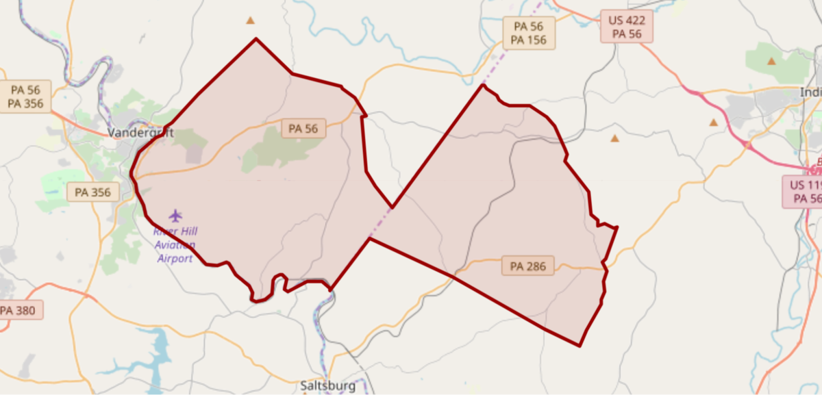
District & School Boundaries Map
The District extends to the southern border of Armstrong County, the northern border of Westmoreland County and western border of Indiana County. Five municipalities from two counties, Armstrong and Indiana, comprise the District -- Apollo Borough, Kiskiminetas Township, North Apollo Borough, Jacksonville/Blacklick Township, and Young Township -- for an approximate 70 square-mile area that is populated by approximately 9,000 residents.
Click this link for an interactive copy of the map below. If you have questions about the location of your home relative to the Apollo-Ridge School District, please contact the Transportation Department at 724-478-6000, x1060, for assistance.

Apollo-Ridge is a member district of ARIN Intermediate Unit #28 and is shown in periwinkle blue on their coverage map at left.